


72 Federal
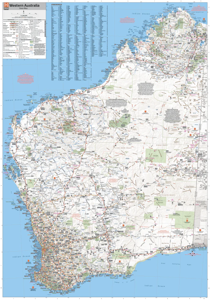
Western Australian State Map
Western Australian State Map
Couldn't load pickup availability
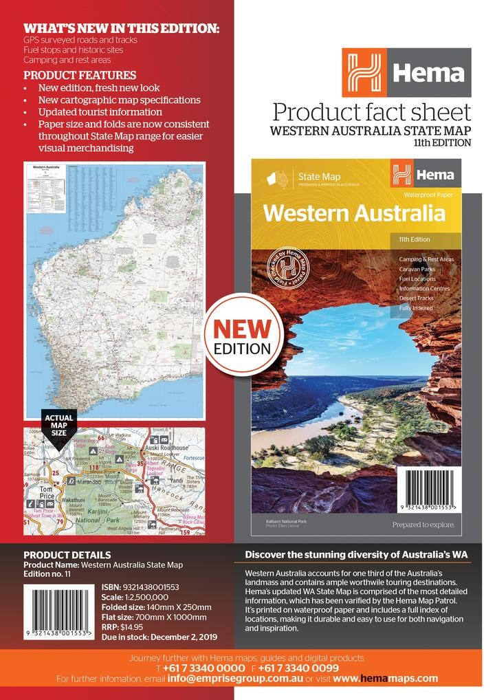
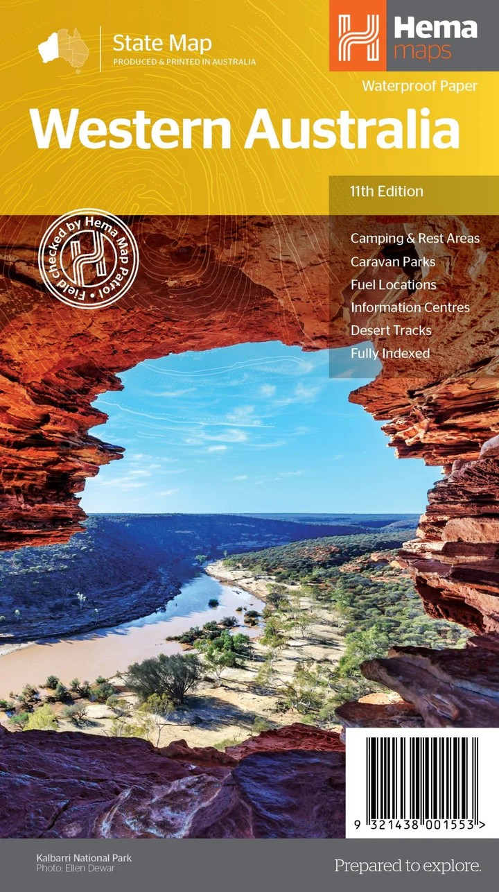
Hema WA State Map – 11th Edition
The Most Detailed Overview of Western Australia, Verified by Hema Map Patrol
Explore Western Australia with confidence using Hema’s updated WA State Map, featuring the most comprehensive mapping and field-verified data available. Printed on durable waterproof paper and complete with a full index, this fold-out map is designed for both serious navigation and casual inspiration.
Covering the vast expanse of WA, this map marks key camping areas, caravan parks, rest stops, fuel stations, and desert tracks, with information centres clearly highlighted to help travellers stay informed on the go.
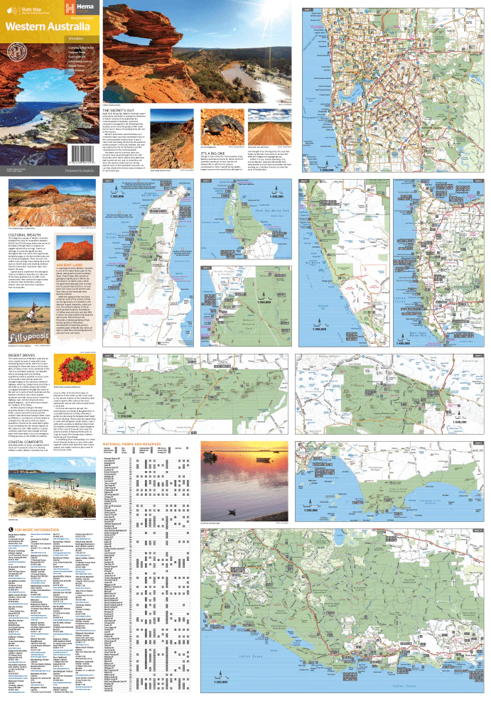
The reverse side includes through-road maps of Perth, along with inset maps of some of WA’s most spectacular national parks:
- Leeuwin-Naturaliste National Park
- Cape Range National Park
- Nambung National Park
- Francois Peron National Park
- Purnululu National Park
- Walpole-Nornalup National Park
- Karijini National Park
Key Features
- Camping and rest areas
- Caravan parks
- Fuel locations
- Visitor information centres
- Desert tracks
- Through-road map of Perth
- Inset maps of major national parks
- Full location index
- Waterproof and highly durable
Specifications
- Edition: 11th
- Publication Date: 01/11/2019
- Scale: 1:2,500,000
- Folded Size: 140mm x 250mm x 3mm
- Flat Size: 700mm x 1000mm
- Weight: 0.09kg
- Printed in Australia
Whether you're a local explorer or embarking on a cross-state adventure, this trusted Hema map offers everything you need to navigate the breathtaking landscapes of Western Australia.
Share