
72 Federal
Wa Handy Map
Wa Handy Map
Couldn't load pickup availability
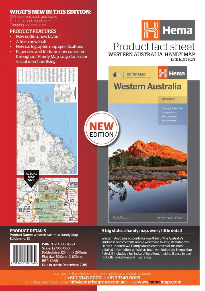
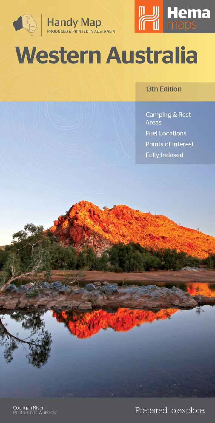
Hema Western Australia State Map – 13th Edition
Explore WA with Confidence
Hema’s updated Western Australia State Map is your essential companion for touring Australia’s largest and most diverse state. Featuring GPS-verified data by the Hema Map Patrol and printed on durable, waterproof paper, this map is built to withstand the rigours of outback travel while offering exceptional detail and accuracy.
Perfect for Planning and Navigation
Whether you’re heading north to Broome, east to the Goldfields, or exploring the remote Coral Coast, this fold-out touring map provides clearly marked highways, minor roads, distances, and essential travel information to help you make the most of your journey.
Includes:
- Highways, major and minor roads
- Camping areas and rest stops
- 24-hour fuel stops and information centres
- Caravan parks, picnic spots, and scenic lookouts
- Easy-to-use index and distance grid for trip planning
Key Features
- Durable, waterproof and tear-resistant design
- Clearly marked camping areas, caravan parks, and lookouts
- Full index of locations for quick reference
- Designed for ease of use on the road
Specifications
- Edition: 13th
- Publication Date: 05/02/2020
- Scale: 1:2,500,000
- Folded Size: 125mm x 250mm x 3mm
- Flat Size: 500mm x 875mm
- Weight: 0.09kg
- Printed in Australia
Compact, reliable, and rich in detail, the Hema Western Australia Map is the smart choice for adventurers, caravanners, and holidaymakers alike.
Navigate smarter. Travel further. Discover WA.
Share