72 Federal
The Kimberly Featuring The Gibb River Road
The Kimberly Featuring The Gibb River Road
Couldn't load pickup availability
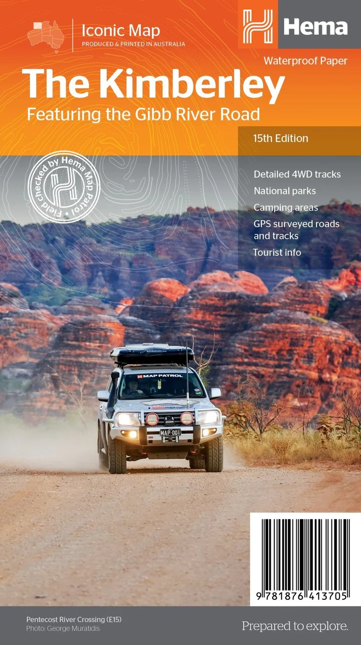
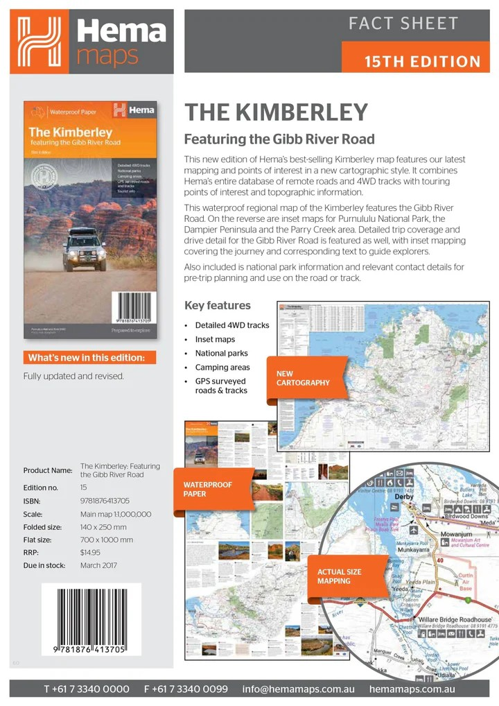
Hema Kimberley Map (15th Edition)
Featuring Gibb River Road & National Parks
Discover the rugged beauty of Western Australia's remote north with the Hema Kimberley Map, your essential companion for exploring this iconic region. This best-selling 15th edition showcases the legendary Gibb River Road and the wild expanse of the Kimberley, providing detailed travel information, 4WD routes, and GPS-verified roads.
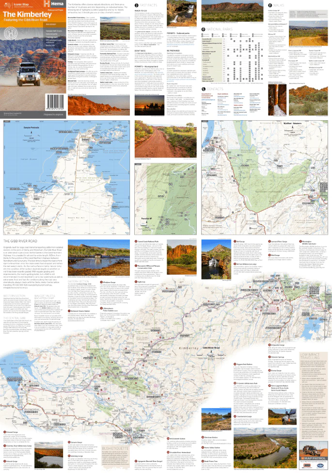
With inset maps for Purnululu National Park, Dampier Peninsula, and the Parry Creek area, this map is designed for practical touring and adventurous road trips. It combines Hema’s trusted topographic detail with rich points of interest and park highlights.
Key Features
- Iconic Gibb River Road coverage with inset journey guide
- Inset maps of Purnululu NP, Dampier Peninsula, and Parry Creek
- National park details and visitor info
- GPS-surveyed roads and 4WD tracks
- Marked camping areas and remote campsites
- Topographic data and elevation relief
- Touring points of interest and outback tips
- Waterproof and tear-resistant paper — built for travel
Specifications
- Edition: 15th
- Publication Date: 01/03/2017
- Scale: 1:1,100,000
- Folded Size: 140mm x 250mm x 3mm
- Flat Size: 700mm x 1000mm
- Weight: 0.09kg
- Printed in Australia
Whether you're heading off-grid into the heart of the Kimberley or planning a once-in-a-lifetime Gibb River Road adventure, this map will help you travel smarter, safer, and with confidence.
Share


