

72 Federal
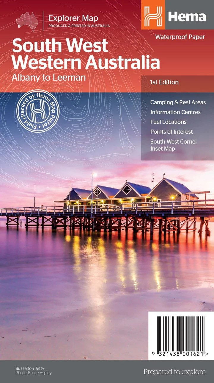
South West Western Australia
South West Western Australia
Couldn't load pickup availability
Hema South West Western Australia Map (1st Edition)
Including South West Corner: Margaret River & Southern Forests
Explore the lush forests, rugged coastlines, world-class wineries, and natural wonders of South West WA with this detailed regional map by Hema. Designed for travellers, campers, and 4WD enthusiasts, this first edition offers comprehensive coverage from Albany to Leeman and inland to national parks and forested regions.
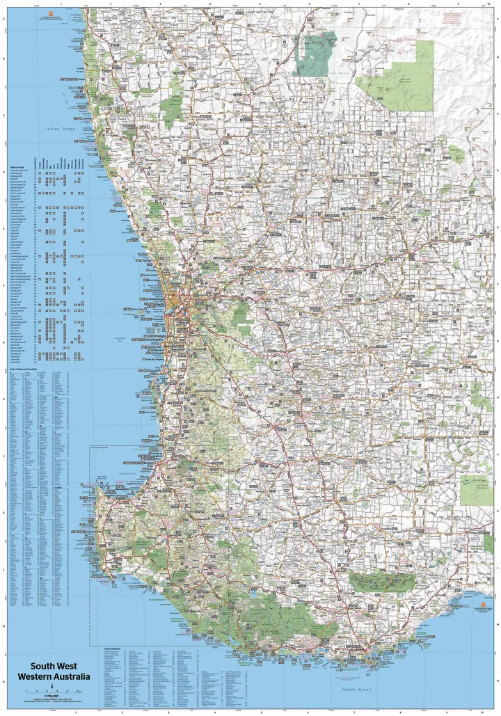
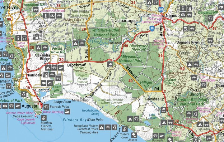
One side of the map presents a regional overview at a scale of 1:700,000. On the reverse, you’ll find a more detailed map of the South West Corner at 1:200,000, including Wellington National Park, Leeuwin-Naturaliste National Park, and D’Entrecasteaux National Park — perfect for planning your next coastal or forest adventure.
Whether you’re chasing wildflowers, hiking trails, wine tasting, or 4WDing through remote terrain, this map is your reliable guide.
Key Features
- Regional and detailed South West Corner map
- Points of Interest and natural attractions
- National parks including D’Entrecasteaux, Leeuwin-Naturaliste & Wellington
- Camping and rest areas
- Information centres and fuel stops
- Designed for adventure and touring
- Ideal for planning scenic drives, hikes and 4WD trips
Specifications
- Edition: 1st
- Publication Date: 17/11/2020
- Scale: 1:700,000 (main map) & 1:200,000 (reverse)
- Folded Size: 140mm x 250mm x 3mm
- Flat Size: 700mm x 1000mm
- Weight: 0.07kg
- Printed in Australia
Perfect for road-trippers, campers, and locals alike — discover the beauty of South West Western Australia with confidence and clarity.
Share