72 Federal
Nullarbor Plain Eastern Map
Nullarbor Plain Eastern Map
Couldn't load pickup availability
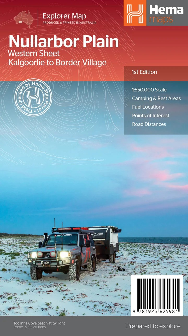
Hema Nullarbor Plain – Western Sheet Map (1st Edition)
Kalgoorlie to Border Village – Adventure Awaits
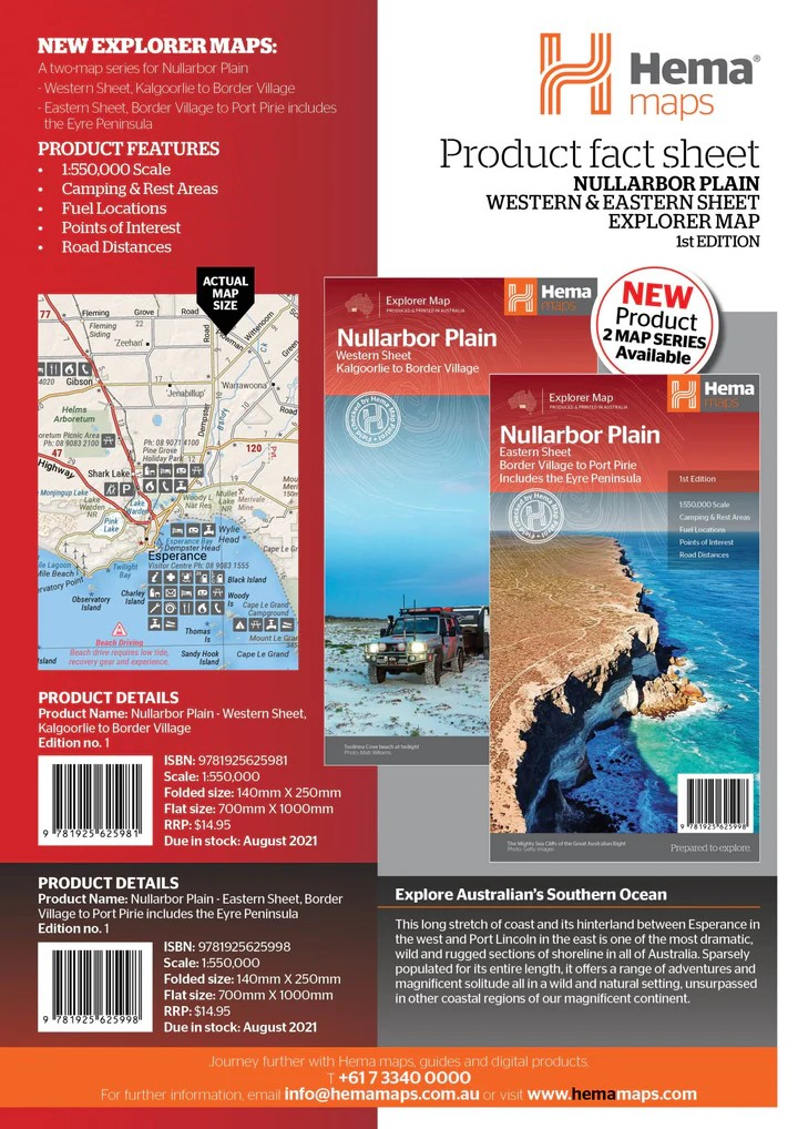
Part of Hema's detailed Nullarbor Map Series, this Western Sheet covers the route from Kalgoorlie to Border Village and the surrounding remote outback. Whether you’re road-tripping across the Nullarbor Plain or exploring its lesser-known off-highway treasures, this map is your essential companion.
From epic caves to iconic 4WD tracks and stunning stretches of the Great Australian Bight, this map features everything an explorer needs — all field-checked by the Hema Map Patrol to ensure superior accuracy and reliability.
Key Features:
- Covers Kalgoorlie to Border Village and surrounding areas
- Field-checked 4WD tracks, including the legendary Old Coach Road (by permit)
- Camping & rest areas clearly marked
- Fuel locations, accommodation, and road distances
- Beaches, caves, and remote track navigation
- Historic and regional highlights for immersive touring
- Topographic detail for better terrain understanding
Specifications:
- Edition: 1st
- Publication Date: 12/08/2021
- Scale: 1:550,000
- Folded Size: 140mm x 250mm x 3mm
- Flat Size: 1000mm x 700mm
- Weight: 0.09kg
- Printed in Australia
Whether you're tackling the Eyre Highway, venturing into Nullarbor National Park, or chasing outback adventure off the beaten track, this durable and highly detailed map is the perfect navigation tool.
Plan. Explore. Discover.
Share

